


|
Tubilla of the Lake, Geographical Situation
|
|
|
|
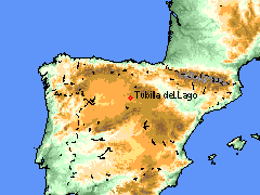
On the map of the Iberian peninsula
we can appreciate the geographical situation of Tubilla of the
Lake.
In the high place Duero of the plateau castellanoleonesa, in the South of the
province of Burgos, one finds our municipality.
Length: 3or
35' 10 " Latitude: 41or
48' 09 " Altitude: 894 meters
|
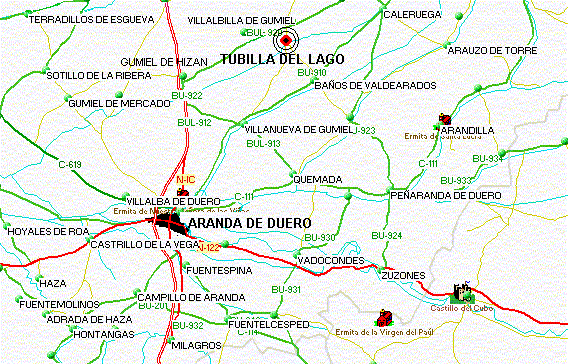
If we take Aranda de Duero as a reference, since we see in the following
plane, Tubilla of the Lake is in the North-East.
|
Tubilla of the Lake is on the banks of the river Gromejón, to 17
kilometers of Aranda de Duero. To come to Tubilla from Aranda, the shortest option is the
highway of Sinovas, to the right of the Bullring of Aranda. In the kilometer 10 of this
highway, one kilometer, after happening for Villanueva de Gumiel, there is a crossing, and we must
turn to the left side. Of this point, Tubilla is to 7 kilometers.
|
|
|
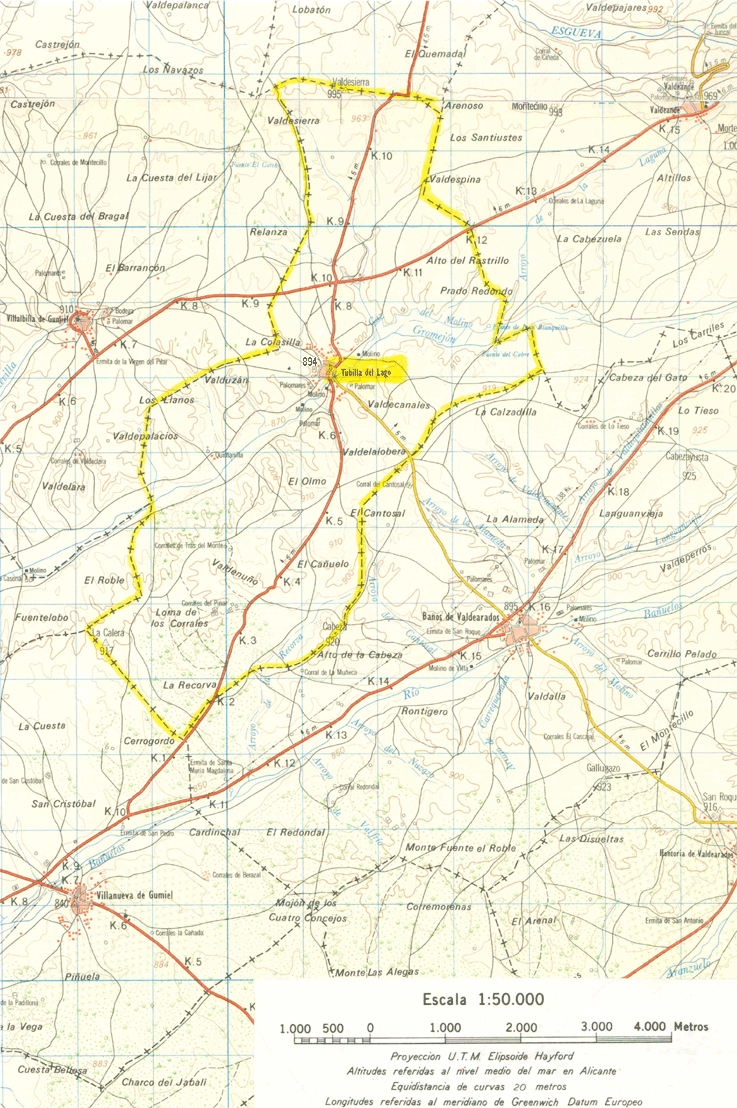
Municipal term
The municipal term of Tubilla of the Lake has an extension of
2330 hectares, and pretty to the north with Santa Maria of Flea market, to the East with Valdeande and Baths of
Valdearados, on the South with Villanueva de Gumiel and on the West with Gumiel de Hizán and
Villalbilla de Gumiel.
|
|
|
© 2001-2002 Tubilla of the Lake
|
|